The Sentinel2Height is an ESA-funded project that develops a new framework for mapping forest canopy heights using coherence images derived from Sentinel-1 Synthetic Aperture Radar (SAR) data. The project bridges existing gaps in space-based Lidar data, such as GEDI and IceSat-2., by using Sentinel-1's frequent and all-weather coverage to estimate forest heights. It aims to provide a wall-to-wall, cost-effective, reliable, and timely method for monitoring forest height, thereby facilitating better forest management and conservation strategies.
The project is funded from the European Space Agency (ESA) in response to the Tender Action Number 6-60008 and Activity Number 1000037670. It kicked off on January 15, 2025.
Consortium partners: The University of Twente, The Netherlands (prime contractor), Università degli Studi di Napoli Parthenope, Italy, Aalto University, Finland, and ETForestService group, Finland.
Outcomes:
The scientific methodology and key findings of the Sentinel2Height project are presented in our recent publication in IEEE Transactions on Geoscience and Remote Sensing (Read the paper).
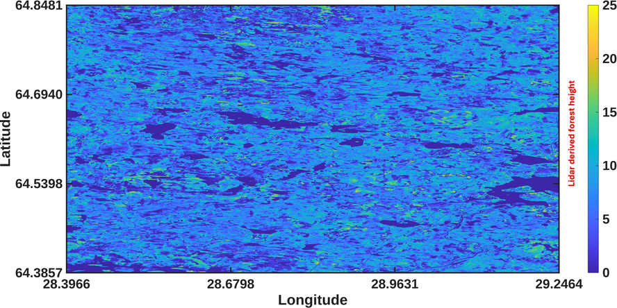
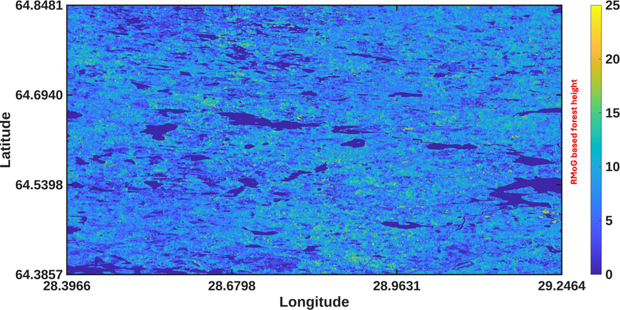
The SentinelToHeight project developed two complementary forest height estimation frameworks using Sentinel-1 repeat-pass interferometric SAR observations. The first approach is based on a physics-driven Random Motion over Ground (RMoG) model adapted for dual-polarimetric Sentinel-1 data under small-baseline acquisition conditions. The second approach combines the RMoG framework with a deep learning (RMoG+DL) residual correction model trained using globally distributed Sentinel-1 and spaceborne LiDAR observations. The developed methodologies were evaluated over multiple boreal forest study areas in Finland. The example below illustrates forest height estimation results for the Hyrynsalmi study area, showing the airborne LiDAR canopy height model (CHM) reference data together with the generated RMoG forest height map.